Mykolaiv — Khmelnytskyi: bus tickets
Mykolaiv — Khmelnytskyi: how to get there by bus
Over 10 buses daily from Mykolaiv to Khmelnytskyi — a trip every 96 minutes. 16 carriers, tickets from 900 UAH.
Ticket prices and travel time
Average bus ticket prices Mykolaiv — Khmelnytskyi by month
Based on data from the past year. Prices may vary by carrier and travel date.
Best price — in March. Tickets Mykolaiv — Khmelnytskyi from 1122 UAH.
Book in advance to guarantee a low price.
Buy bus ticket
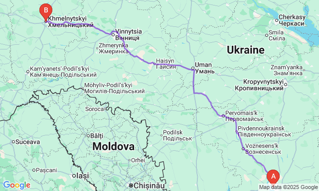
Route map
Frequently Asked Questions
How much is a ticket Mykolaiv — Khmelnytskyi?
Ticket prices range from 900 to 1 461 UAH. Average price is 1 237 UAH.
How long is the trip Mykolaiv — Khmelnytskyi?
Travel time takes from 8h 45min to 13h 10min. Distance between cities is 460 km km.
What time is the first and last bus?
First bus departs at 05:30, last one at 21:30. About 10 trips run daily.
Which carriers operate on this route?
16 companies operate on this route. Popular ones: Orion bus, Orion bus, Pavluks Trans.
Do I need to print my ticket?
No, showing your e-ticket on your phone is enough. The driver will scan the QR code or check by booking number.
How much luggage can I bring?
Usually 1 suitcase up to 20 kg in luggage compartment and 1 carry-on up to 5 kg in cabin are allowed. Check with carrier.
Are there night buses Mykolaiv — Khmelnytskyi?
Yes, night buses are available. Last bus departs at 21:30 and arrives in the morning. Great for saving time.
How to find the cheapest tickets?
Book in advance — prices are lower 2-3 weeks ahead. Choose weekday trips, avoid Fridays and Sundays. Compare carriers.
Is there Wi-Fi and outlets on the bus?
Most international buses have Wi-Fi and USB outlets. Availability depends on carrier and bus class.
Can I cancel or change my ticket?
Refund conditions depend on carrier. Usually you can cancel 24-48 hours before departure with a fee deduction.
What documents are needed for the trip?
For domestic trips, a passport or ID card is enough. For international trips — a passport. Ukrainian citizens have visa-free access to EU.
Are there stops along the way?
Yes, on long routes there are rest stops every 3-4 hours for breaks and snacks. Duration is 15-20 minutes.